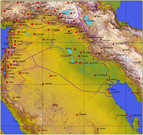
 Iraq and surrounding countries 35º East to 52º East, 24º North to 40º North Includes parts of Saudi Arabia, Iran, Israel, Lebanon, Jordan, Turkey and Kuwait File sizes: Relief map decompressed 100 MB, JPEG 9.5 MB - EPS Illustrator 6.6 MB Dimensions 6,117 X 5,760 pixels (20.39 X 19.20 inches at 300 dpi) Features JPEG relief map with overlaying EPS Illustrator with rivers, roads, towns, town names, and national borders. 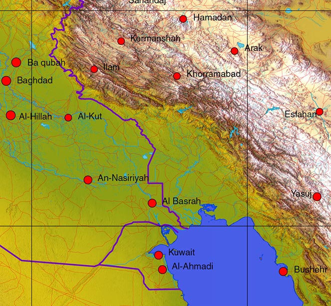 Detail of the same map showing Northern Persian Gulf including Iraq, Kuwait, Saudi Arabia and Iran. There is an alternate choices of relief map that can placed behind a multi layered Illustrator EPS vector map.
Any comments or problems with this
site? Please
let us know
- thank you!
|