|
Complete view from Persian Gulf to Kashmir From Mid-Indian sub-continent to Kazakhstan 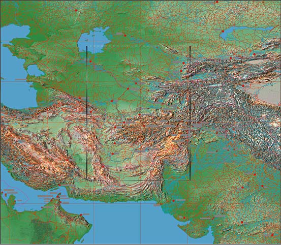 Middle east and Central Asia Complete Territory from Persian Gulf to Kashmir and from Mid-Indian sub-continent to Kazakhstan 50º East to 80º East, 20º North to 50º North Includes Afghanistan and parts of Iran, Pakistan, Turkmenistan, Uzbekistan, Tajikistan, Kashmir & India File size: 55 Mb - Dimensions 4,600 x 4,000 pixels (46" x 40" at 100 dpi) Features JPEG relief map with overlaying EPS Illustrator with rivers, roads, towns, town names, provincial and national borders. The relief map has not been screened down and gives a higher contrast effect. 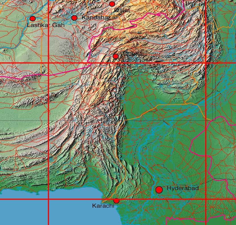 Detail of Pakistan, at 100% size. The relief map placed behind a multi layered Illustrator EPS vector map.
Any comments or problems with this
site? Please
let us know
- thank you!
|