|
Complete view from Egypt to India 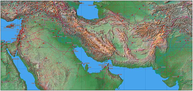 Afghanistan - Complete Territory from Egypt to India 31º East to 76º East, 20º North to 41º North Includes Afghanistan and parts of Iran, Pakistan, Turkmenistan, Uzbekistan, Tajikistan, Kashmir & India File size: 39 Mb - Dimensions 5,398 X 2,517 pixels (54 X 25 inches at 100 dpi) Features JPEG relief map with overlaying EPS Illustrator with rivers, roads, towns, town names, provincial and national borders. The relief map has not been screened down and gives a higher contrast effect. 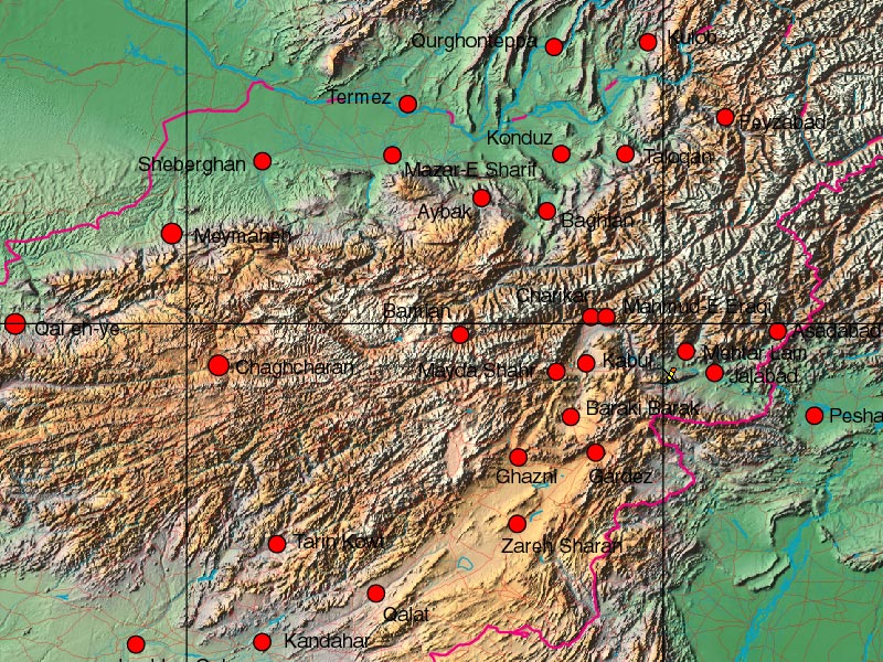 Detail of Afghanistan, Pakistan and Tajikistan border, at 100% size. The relief map placed behind a multi layered Illustrator EPS vector map.
Any comments or problems with this
site? Please
let us know
- thank you!
|